

.png)
Across southern Europe, increasingly extreme heat, wildfire and intense rainfall are forcing planners to consider how one event can alter the risk of the next. Portugal’s exceptionally wet winter and another summer of wildfire risk are an example of this. As a professor of architecture and climate change adaptation who has been following the cyclical nature of weather extremes in the Pinhal Interior region since the deadly 2017 fires, I explain why prevention must connect forests, settlements, slopes and waterways.
Portugal, Spain and France have spent another summer confronting severe wildfires. But in Portugal, the story began months before the flames.
February 2026 was the country’s wettest February in 47 years. Across much of mainland Portugal, rainfall reached three to four times the normal monthly amount. Successive Atlantic storms saturated soils, caused flooding and brought down trees across central Portugal.
That water also favoured vegetation growth. Research in Mediterranean climates has found a counter-intuitive relationship: a rainy growing season can increase fine vegetation that later becomes fuel once summer heat dries it out. A very wet period does not necessarily mean a lower fire risk several months later – and fire is not the only hazard that the same rainfall from storms was quietly setting up.
The disaster before the disasterTogether with an NGO and my university colleagues, I have been following Portugal’s Pinhal Interior since 2017, when the Pedrógão Grande wildfire killed 66 people, many while trying to escape by road. Four months later, another devastating wave of fires killed around 50 people.
Disaster risk is commonly understood through a simple relationship: Risk = Hazard × Exposure × Vulnerability.
We cannot eliminate extreme heat, wildfire or heavy rainfall. Planning can, however, alter how exposed and vulnerable people and landscapes are.
Portugal has made progress since 2017. Its Integrated Landscape Management Areas seek to bring fragmented land under coordinated management and create more resilient landscape mosaics. Yet eucalyptus and maritime pine still occupy a very large share of Portugal’s forest area – about 48% in the latest national inventory figures available through PORDATA – and fragmented ownership and insufficient management continue to complicate prevention.
This winter exposed another vulnerability. Cyclonic winds from Storm Kristin toppled trees and blocked roads across central Portugal, with more than 3,300 incidents recorded by civil protection, obstructing forest access just as the Pinhal Interior needed it clear.
Pedrógão Grande subsequently mounted a major operation that restored more than 618 kilometres of forest roads before summer – infrastructure damaged by one hazard, repaired just in time to face the next.
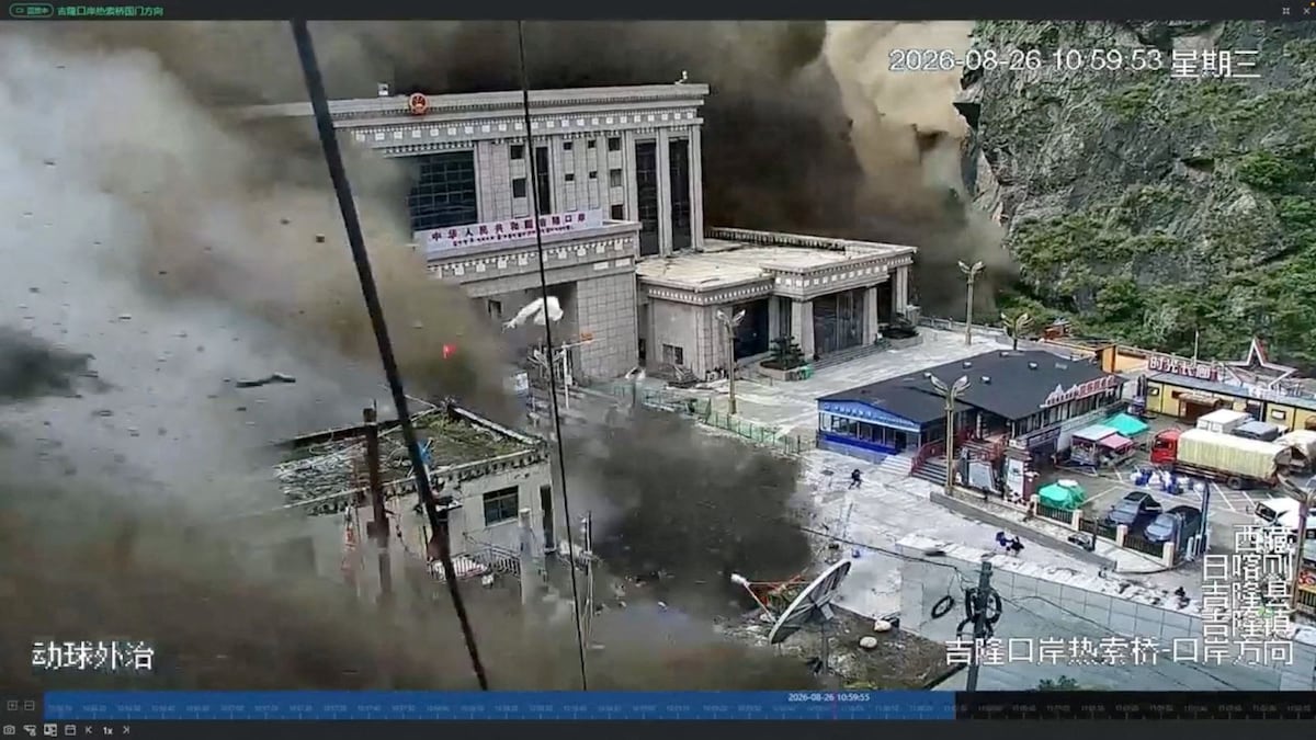
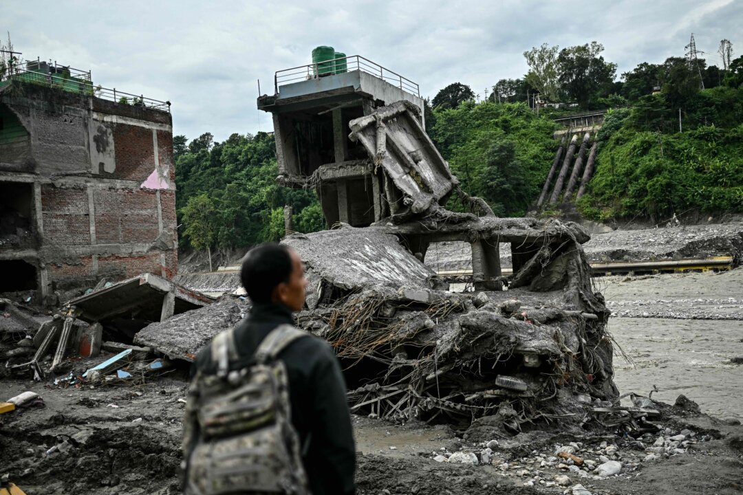
This mirrors what a recent piece on The Conversation called the recovery gap, describing floods on the Nepal-Tibet border: a disaster’s true damage depends less on the hazard itself than on how much time a community had to recover from the one before. In the Pinhal Interior, that gap barely existed this year.
Landscape intervention alone is not enough. Household-level risk mapping and community preparedness matter just as much: the lesson from the fires in 2017 was about exposure and access, not just vegetation.
One wet winter, two disastersThis year, the exceptionally wet winter produced one immediate hazard, in February, while also creating conditions that can raise the risk of another months later.
Record rainfall breached ageing river defences on the Mondego (Portugal’s longest waterway), isolating the village of Ereira, in Montemor-o-Velho, for more than a week and flooding farmland and part of that year’s rice and corn harvest around Soure and Montemor-o-Velho, with water reaching basements and riverside businesses in Coimbra itself. The same wet season also favoured vegetation growth, which, after drying under summer heat, can add to the fuel available for wildfire: flood and fire are not necessarily independent events, since the conditions producing one can alter the risk of the other months later.
Fire adds a further layer of risk. Wildfire strips vegetation that normally protects soil from rainfall, and can increase soil water repellency, affecting infiltration, runoff and erosion. On slopes that have just burned, the first storm of the next rainy season can become a hazard in its own right.
Portugal already has evidence that relatively simple interventions can reduce this risk. In a burned eucalyptus plantation in central Portugal, researchers found that landscape recovery work involving applying forest-residue mulch reduced cumulative soil loss by 91% over five years.
Soil science recovery work on the land does the same underlying job as building-scale recovery work. Resilient construction, for instance, that holds up when fire reaches it reduces vulnerability before the next fire, not after.
Three things that should happen before the rains returnSeverely burned slopes above settlements, roads and waterways should be assessed immediately. Mulching or other protective cover should stabilise exposed soil before heavy rainfall arrives; emergency seeding can complement this, but should not delay it.
Reconstruction should not simply reproduce what existed before the fire. Buildings in fire-prone landscapes need defensible space, fire-resistant construction – cork, harvested from trees that are themselves unusually fire-resilient, is one such material – and independent water storage; where rainfall is also a risk, permeable surfaces and drainage belong in the same design.
Forest and water management should be one prevention strategy. Clearing vegetation while neglecting streams and drainage channels addresses only half the problem. Keeping the hydrographic network functioning before the rains return is as urgent as preparing forest access before fire season. This requires architects and planners to think beyond individual buildings. Slopes, settlements, roads, forests and waterways form a connected territorial system.
Landscape architects, ecologists, engineers, risk specialists and local communities need to work together before reconstruction decisions become fixed – the same integrated approach I have developed with colleagues through long-term action-research on the sustainability, ethnography and cultural heritage of a Portuguese river landscape.
In a changing climate, the aftermath of one disaster can become the preparation ground for another.
Resilience is built in the interval between them – and that interval is getting dangerously short. The underlying hazards are not unique to Portugal. The lesson from Portugal’s Pinhal Interior is that fire and water can no longer be managed as separate problems: they are increasingly the same risk equation, seen at different moments of the year.
A weekly e-mail in English featuring expertise from scholars and researchers. It provides an introduction to the diversity of research coming out of the continent and considers some of the key issues facing European countries. Get the newsletter!
Afonso Nuno Martins is a board member and regular volunteer for the NGO Building 4Humanity.


 (1).jpg)
 (1).jpg)
 (1).jpg)
 (1).jpg)